
Use Geospatial Intelligence for disease outbreak mapping, pandemic preparedness, and vaccination campaigns. Support healthcare infrastructure planning and accessibility analysis. Provide real-time data for emergency response and disaster medicine.

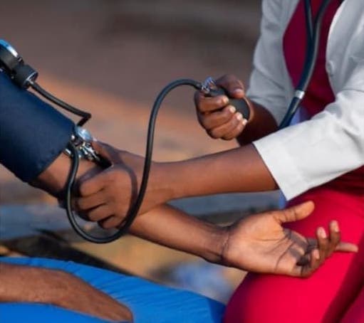
Healthcare & Public Health
GIS for disease outbreak mapping, pandemic preparedness, and vaccination campaigns.
Healthcare & Public Health
Key Intelligence Capabilities
GIS mapping of hospitals, clinics, and public health facilities
Disease surveillance and epidemiological mapping
Health infrastructure planning and disaster preparedness support
Analytics for vaccination campaigns, outbreak response, and resource allocation